Logar Valley: Stops Along the Route, Waterfalls and Driving In
by Darja · Published Sep 11, 2026 · 8 min read
Logarska Dolina is Slovenia’s most complete glacial valley — a U-shaped trough about 7 km long in the Kamnik–Savinja Alps, walled in by peaks over 2,000 metres high. One toll road runs its length, one entrance fee covers the whole visit, and Rinka Falls — one of the country’s tallest waterfalls, and the source of the Savinja River — sits a short walk from the last car park.
Logarska Dolina, the Logar Valley, is a textbook U-shaped glacial trough in the Slovenian Rivers & Valleys region, carved by ice into a corridor about 7 km long and barely 250 to 500 metres wide, closed off at its head by a wall of rock over 2,000 metres high. It’s the best-known of the three Solčava valleys — alongside Robanov kot and Matkov kot — and the easiest to see properly in a single day: one road runs its length, one entrance fee covers the whole thing, and the valley’s signature waterfall is a short walk from the final car park.
The valley became a landscape park in 1987, one of Slovenia’s oldest, and is managed jointly by Solčava municipality, Mozirje municipality and a dedicated development company — not privately run, whatever you may have read elsewhere. Roughly three dozen people still farm its scattered meadows, and the whole area sits inside a wider Natura 2000 site; it picked up a CIPRA protected-areas award in 2005 and an EDEN award in 2009. None of that shows up as red tape at the gate — the road is sealed, the walk to the waterfall is short, and the valley rewards anywhere from two hours to a full day depending how far up the side trails you go.
At a Glance
Six numbers worth knowing before you set off.
Stops Along the Valley
In order from the barrier to the head, as you’ll meet them. Distances are approximate from the entrance.
A staffed toll booth, a map board and the first proper view up the trough toward the rock wall that closes the valley.
Cash or card ready — the fee is only collected April to September and October weekends, so check the season before you assume it’s free.
Open hay meadows and scattered farmsteads, with Villa Palenk — part of the Hotel Plesnik estate — visible from the road.
The road narrows to single-lane in places here, and slow farm traffic is normal — there’s no rushing this stretch.
The valley’s main hotel and restaurant, roughly its midpoint, and the easiest place to get a proper meal or coffee mid-visit.
Parking around the hotel fills up first in peak season — if it’s full, the next pull-offs are only a few minutes further on.
The valley’s wooded upper section (locally “Kot”), scree slopes underfoot, and your first real sense of the peaks over 2,000 m closing in.
The road narrows further and weather here turns faster than it does at the entrance — check the sky before you commit to the walk ahead.
The final car park, a 10–15 minute walk to Rinka Falls itself, and Orlovo gnezdo — a small bar right at the base of the falls.
This is as far as cars go. The path up is stony and can be slippery when wet — trainers are fine, flip-flops aren’t.
Things to Do in Logar Valley
Four ways to spend the day, roughly in order of effort.
The valley’s one road runs the full 7 km from the entrance barrier to the last car park below Rinka Falls, with the peaks closing in the whole way. It’s sealed and gentle — no 4×4 needed — and doubles as the easiest way to see every stop above in an hour or two.
Included in entrance fee · ~1–2 hrs
The out-and-back to Rinka Falls is about 14 km and stays easy and mostly flat — a good first ride in the area. Cyclists don’t pay the entrance fee. For more effort, the wider Solčava Panoramic Road loop is roughly 25 km and considerably hillier.
Free entry for cyclists · 14 km easy / 25 km demanding
The walk from the last car park to Rinka Falls takes just 10–15 minutes up a stony forest path. For more, the trail toward the Okrešelj cirque climbs about 374 m over roughly two hours — the standard approach for hikers and climbers heading further into the mountains.
Free · 10–15 min to the falls, ~2 hrs to Okrešelj
Several of the working farms along the road sell their own cheese and preserves directly at the door — no shop required. Drive back out and up onto the Solčava Panoramic Road for the wide, from-above view of the whole valley, or try the archery range at Gradišnik farm.
Farm prices vary · panoramic road adds ~2 hrs
Getting There
Logarska Dolina sits at the upper end of the Zgornja Savinjska dolina, well east of Ljubljana and close to the Austrian border. From Ljubljana, it’s about 90 km and 1 hour 30 minutes by car: take the A1 motorway toward Celje, exit at Šentrupert, then follow local roads through Mozirje to Solčava and on into the valley.
Public transport is thin. A seasonal regional bus runs from Celje to Solčava, but it’s infrequent and drops you roughly 7 km short of the valley’s main sights — workable if you’re prepared to walk or hitch the last stretch, but most visitors without a car book a guided day trip from Ljubljana or Bled instead.
Access at a Glance
| What | Details |
|---|---|
| Entrance charges | €7 per car, €5 per motorcycle. Pedestrians and cyclists enter free. Charged April to September and October weekends; unstaffed the rest of the year. |
| Motorway vignette | Needed for the A1 stretch out of Ljubljana as far as the Šentrupert exit. A weekly digital vignette costs around €16, bought online or at border petrol stations. |
| Winter conditions | The valley road itself stays open year-round, but the fee booth isn’t staffed and snow or ice is common. The upper trails toward Okrešelj are for experienced winter hikers only. |
| Parking | Marked pull-offs and car parks are spaced along the road, with the main one near the head of the valley. Cars stop there — it’s a 10–15 minute walk on to Rinka Falls from that point. |
| Without a car | A seasonal bus reaches Solčava but stops well short of the valley’s sights. A guided day trip or private transfer is the realistic backup if you’re not self-driving. |
When to Go
The valley looks genuinely different across the seasons — here’s how the two best windows compare.
- Rinka Falls is at its fullest, fed by snowmelt from the peaks above
- Meadows are green and wildflowers are out along the valley floor
- Afternoon storms build quickly — plan the waterfall walk for the morning
- Some higher side trails may still hold snow into June
- Clear light and early autumn colour on the valley’s wooded slopes
- Noticeably quieter than the summer months
- Entrance charges still apply on October weekends — check before you go
- The waterfall runs lighter than in spring, after a dry summer
Three Things Most Visitors Miss
Planning a longer Alps loop?
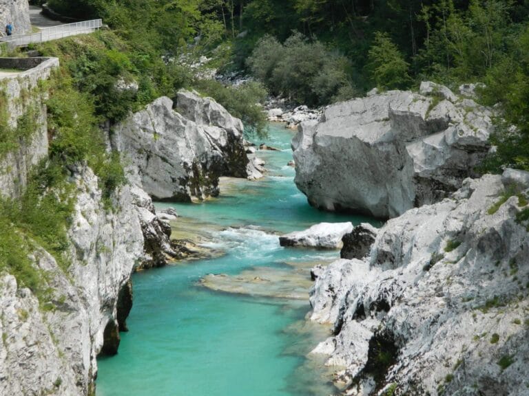
Pair Logar Valley with a day on the Soča for whitewater, canyons and swimming spots further west.
Frequently Asked Questions
Do you have to pay to enter Logar Valley?
How long do you need in Logar Valley?
Can you reach Logar Valley without a car?
Is the road into Logar Valley difficult to drive?
Can you cycle in Logar Valley?
More of Slovenia’s rivers and valleys: browse every guide in Slovenian Rivers & Valleys, read our Soča River guide for the whitewater side of the region, or start planning the wider trip at Tips in Slovenia.

Darja
Writes destination guides for Tips in Slovenia, covering the country's cities, hidden gems and day trips.
Newsletter
Don't miss anything new
One new Slovenia guide in your inbox every couple of weeks. No spam, unsubscribe any time.